By carrying mission loads such as visible light cameras, visible light cameras, infrared thermal imaging cameras, and small photoelectric pods on drones, inspections of oil pipelines can be realized. According to the characteristics of the oil pipeline of this project, this project uses drone inspection as a means to enrich oil and gas pipeline inspection methods, improve the ability of anti-sabotage, anti-leakage, and emergency disaster relief; replace part of the labor, reduce the labor intensity of field workers, Improve work efficiency; establish a set of intelligent drone inspection system suitable for oil and gas pipeline inspection.
For this mission, three drones were carried, namely the HC-332H hybrid version, the HC-332E electric version, and the HC-332HM hybrid surveying and mapping version. The pod has the ability to work at night. The HC-332E is equipped with a 10-fold dual-light pod and a megaphone, which can perform broadcasting and other operations on the site. The HC-332HM carries a three-dimensional mapping camera, which has high operating efficiency and high mapping accuracy. It can perform three-dimensional reconstruction of the photographed factory area.

No.1 flight test
According to the environment of the target, on-site survey and route design were carried out. The straight-line distance of the route is 7.5km (from the central station to platform 3), and the one-way flight distance of the route is 11km.

In order to test the working state of the hybrid engine at the target altitude and ensure the safe flight of the inspection operation, the engine status test was carried out. The take-off altitude was 1200m, the flight altitude was 200m, and the flight time was 10min. The engine power was stable and the voltage was normal, and subsequent flights could be carried out.
To test the transmission status of the image link, the flight status: the take-off altitude is 1200m, the flight altitude is 180m, the flight time is about 10min, the longest flight distance is about 3km, the voltage is normal, and the image data is returned normally.
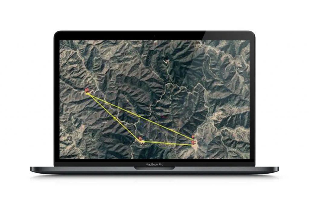
The take-off altitude is 1200m, the flight altitude is 180m, the maximum flight distance is about 5km, and the flight time is 20min.
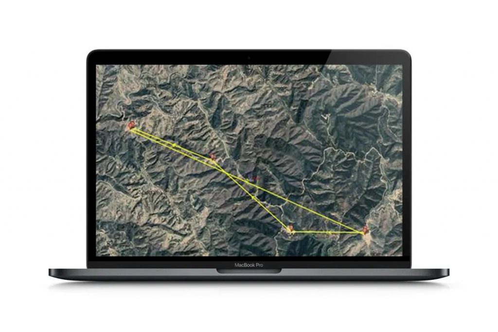
Follow the pipeline path to fly the route, the total flight distance is about 13km, the take-off altitude is 1200m, the flight altitude is 180m, the flight time is 30min, the voltage is normal, the image data transmission is normal, and the image at the turning point at the far end is slightly stuck.
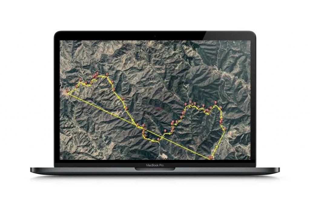
The take-off altitude was reduced to 1150m, the flight altitude was 230m, and the flight time was 30 minutes. The long-distance flight test was carried out with a simple route. The total mileage was about 13km. The remote end is severely stuck, and no connection is lost.
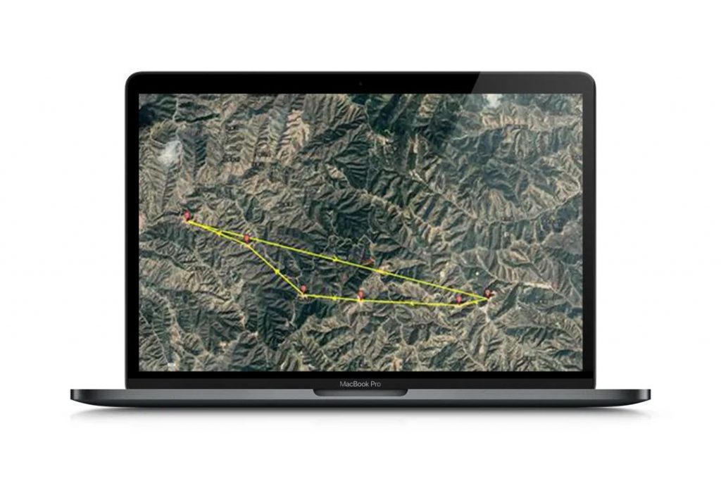
The take-off altitude is 1150m, the flight altitude is 230m, the flight time is 45min, and the flight range is about 16km. According to the pipeline inspection, the whole process is obviously stuck, and the image at the farthest end is lost. It is presumed that it is mainly due to terrain occlusion.
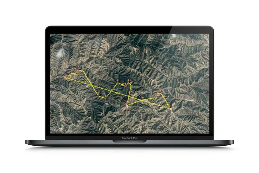
Using the image transmission antenna with increased ground gain, the take-off altitude is 1110m, the flight altitude is 270m, the flight time is 45min, and the flight range is about 16km. The take-off position is low, and there is still a small amount of jamming at the far end point and the delay point.
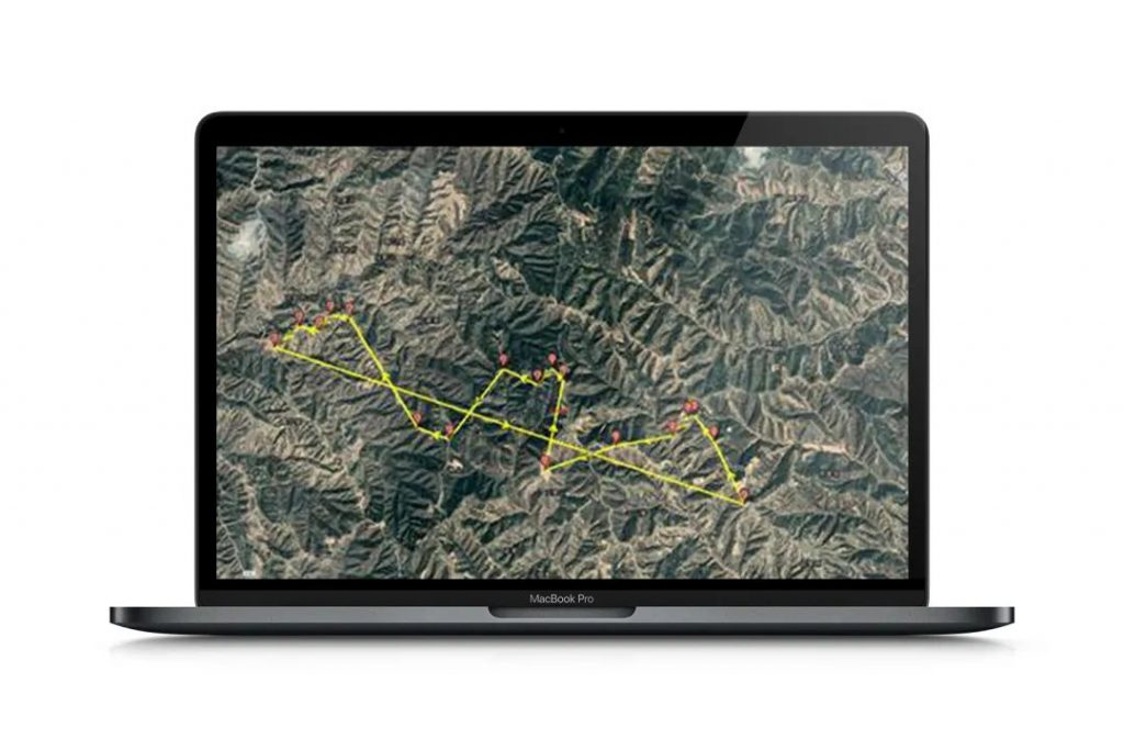
No.2 inspection results
Through the above-mentioned several inspection flights, under the condition of communication guarantee, the use of drones has greatly improved the inspection speed, and solved the problem of difficult personnel inspections in mountainous areas due to terrain factors. At the technical level, one UAV and one base station can realize effective inspection within a radius of 10 kilometers, and with the ultra-long endurance of the hybrid electric power, the inspection efficiency is doubled.
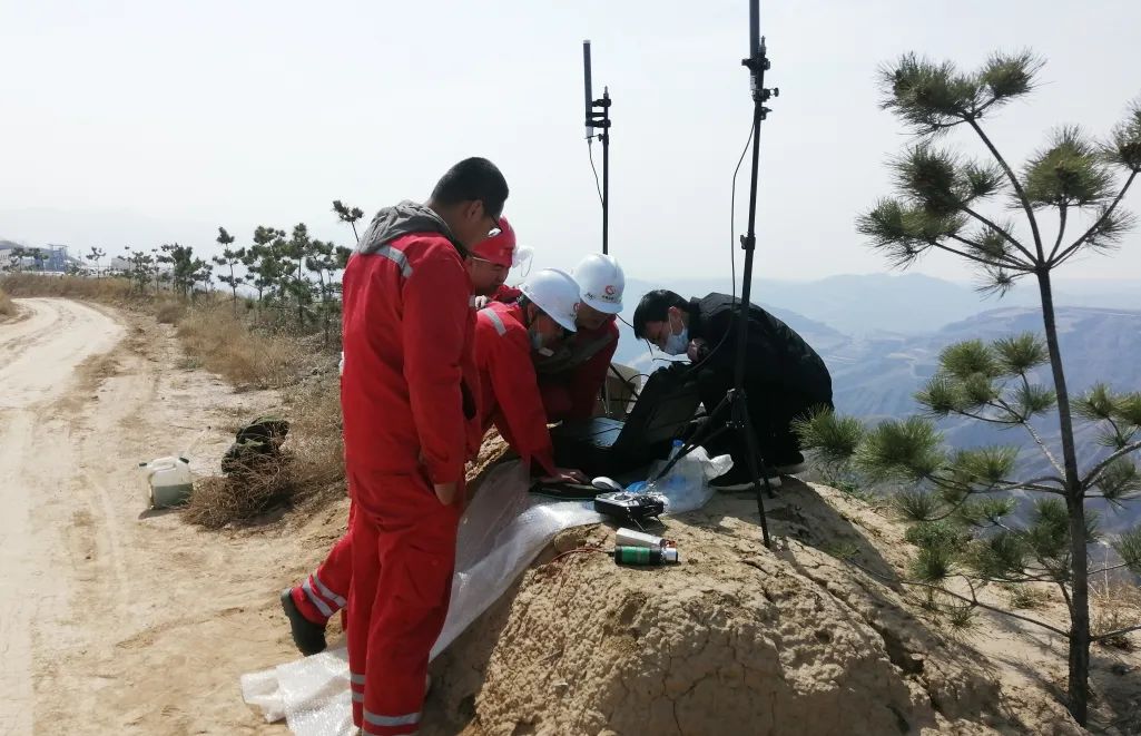
The UAV carries a 30x zoom optical pod, which can zoom in on human-sized targets at a height of 200 to 300 meters, and has a target locking and tracking function, which can track suspected targets. At the same time, it is equipped with an infrared thermal imaging lens, It can quickly identify dangerous situations such as leakage and burning, and send out an alarm. At the same time, it can also search and monitor outsiders at night.
